God's Stairmaster
or
The Harding Icefield Trail


Note: All pictures in this section are linked to bigger versions.  Click on the picture to get to the larger version.  Use your browser's "back" button to return to this page.

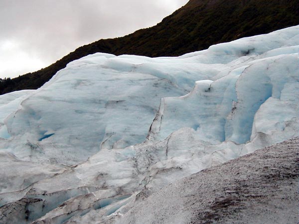
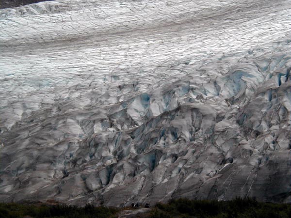
A short drive north of Seward, Alaska is a road which leads to the terminus of Exit Glacier.  A short walk from the parking lot puts one near the 150-foot-high face of the glacier.  This is the glacier.  Note that in the very bottom of the picture are three people who lend a sense of scale to the size of this glacier.  Glaciers are formed when snow is compacted into ice by the pressure of increasing amounts of snowfall, which compresses the snow into ice.  When the ice gets sufficiently deep, the pressure squeezes the oxygen out of the ice, giving it the characteristic blue color of glacier ice.

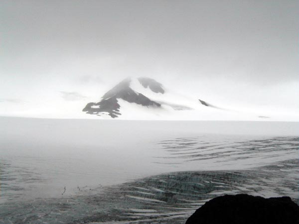
Exit glacier is one of more than 30 named glaciers which flow down from the Harding icefield.  The icefield, the fourth largest in North America, is approximately 35 miles by 20 miles, i.e., 700 square miles of ice hundreds of feet thick.  It's not the biggest icefield in Alaska, though.  The Chugach Icefield is 8,300 square miles, the size of the state of New Hampshire.

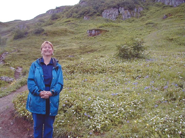
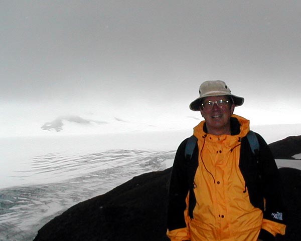
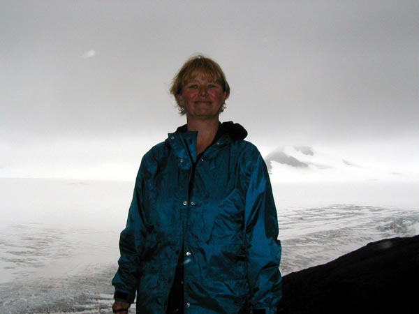
Lisa and I departed a bit after nine one morning to climb the trail up to the Harding Icefield.


You can really see the blue color of the ice in this picture.

The trail up to the Harding Icefield is about 3.5 miles - but it ascends 3100 feet.  And that's the good news.  The bad news is that having walked to the icefield, one then has to walk back down.  (That's not strictly true - it is possible to camp up on the icefield away from the trail - but the regulations require that one camp on snow or ice, which requires good equipment and specialized knowledge.)

That's 6200 vertical feet in one day, which is a mile and a sixth.  It's not for those in poor physical shape, because that's the equivalent of walking up and then down 300 floors in a typical office building.

If you're in shape for it, though, it's absolutely worth the climb and the pain which ensues on the next day.


This is one reason why.  The icefield is not the only thing worth seeing.  The trail starts out at the bottom in what amounts to a rainforest, with ferns and heavy vegetation.  It climbs up through what strongly resemble alpine meadows, with the lovely flowers seen in this picture.  Then it ascends into high-altitude tundra before reaching snow and ice without vegetation at all.  There aren't many places where one can visit some many distinct micro-climates in a single afternoon.

 
These lovely flowers were close to the border between the rainforest and meadows micro-climates.

The trail itself is in pretty good shape.  There was a crew of students from the Student Conservation Association working on the trail the day we walked it.  We stopped to thank them for the work they were doing, and one student mentioned that they would be working on it for the next four weeks - which means they are probably doing at least three thousand vertical feet every day.  They should certainly be in really good condition at the end of their work!  The trail is cleared of most obstacles, and we could see in several steeps sections where large rocks had been placed close together to form a sort of staircase to make it easier to ascend, but several pitches had us crawling very carefully up steep, rocky sections.


There are many different kinds of animals in the area, including many different kinds of birds, and bears.  This is a hoary marmot.  Notice how its coloring resembles the rock next to it.  I hope tourists aren't feeding the animals, because they seem quite tame.  One ran by Lisa and I as we were laying down eating lunch next to the trail, and paid us no attention at all.

A bear ran a maintenance crew off the trail just behind us as we were descending the trail.  I talked to the man supervising the crew, and he said that it's unusual to be confronted by a bear on the trail itself - that while they are always around, they usually stay away from the trail.


Near the top of the trail are several stretches of snow and ice.  In those sections, the trail has been marked with orange markers.  Lisa and I were both wearing running shoes, having chosen them for lightness in preference to heavier footwear.  The snow sections were a bit dicey in those shoes.

The pictures is of me with my back to the icefield. I'm grinning with the satisfaction of having hauled my 53-year-old body up that trail.

The peak in the back sticks out of the icefield.  Exit Glacier is named that because it was used as an exit by explorers of the Harding Icefield.


This is Lisa in about the same spot.  Although we were tired, we both felt buoyant at having achieved the summit.  We still had to get down, however, and we were really tired when we finished.  In some ways, going downhill is harder than going uphill, especially on your knees.  Also, unless you have boots or shoes which lace tightly, your toes tend to get jammed into the toebox of your footgear.  We both had sore muscles for a couple of days after the climb - and it was worth every twinge.

The picture below of the icefield requires no comment.


Copyright 1999 by Linden B. Sisk
All rights reserved

home

email: Lindy@aracanamavens.com