While members of the group are out hiking several days per week, a hike is scheduled each Thursday for people who hike less frequently, and these are usually easier hikes than those which take place on the other days.
Since I was delayed in getting to Creede this summer, the Thursday hike seemed like an ideal place for me to start. I had been walking a lot at Rifles Only, but having arrived only 4 days prior, I was not completely acclimated to the altitude, and there is a big difference between walking on flat territory and hiking with significant altitude changes.
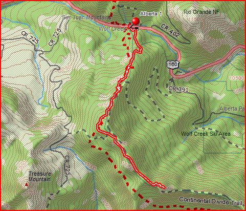
The hike would start at the parking area at Wolf Creek Pass, and go to Alberta Peak, as seen in the map below. The route to the peak is shown in red with a yellow center. The trip to the top was about 3 miles, with an elevation gain of 1370 feet and an average grade of 10 percent.
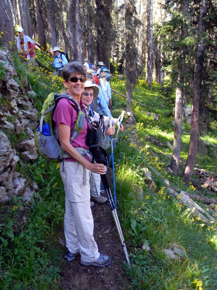
We left the RV park at 8:30 AM, and began hiking at about 9:25 AM. The trail is actually the Continental Divide Trail, and we were headed south on the trail.
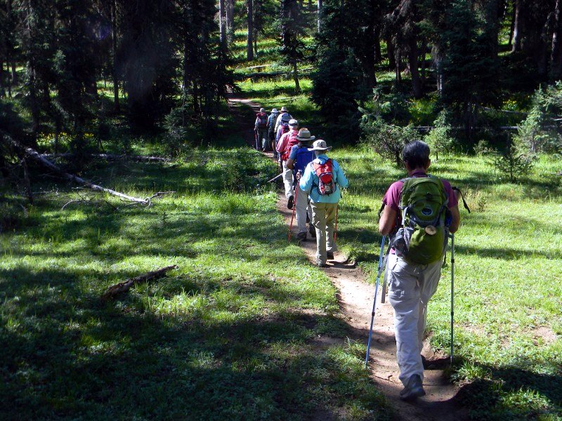
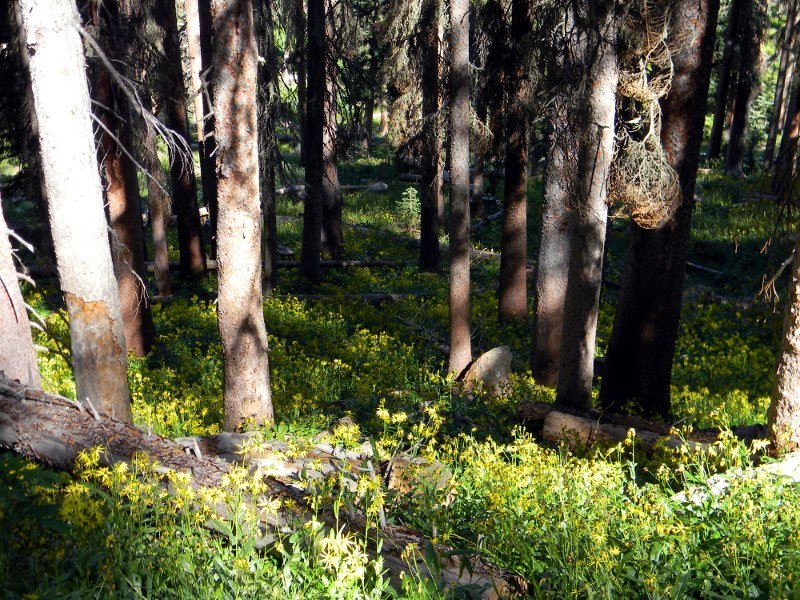
The initial route through the forested area was beautiful. The area had been getting some significant rainfall from the Southwest Monsoon, and there were lots of wildflowers along the trail.
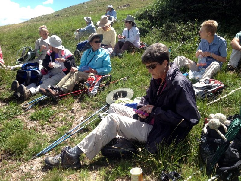
We got out of the trees, and got to an area of low trees which provided shelter from the wind at about 11:30 AM, where we sat and ate lunch before summiting.
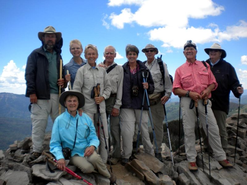
The hike to the summit was short, but required negotiating some tricky and unstable rocks. This is part of the group on the top.
There were rain clouds gathering in the distance, as is usually the case at this time of the year, so we did not tarry on the summit. We took a shortcut down the slopes of the Wolf Creek Ski Area, which took about a half mile off the route down.
It was a great first hike for me. The next day, I had no soreness, and some slight tightness in one Achilles tendon on the ascent was gone. I'm looking forward to more hikes in this area. If you are interested in more stories about hikes in this area, see my 2011 Creede Summer Journal.
Cheers!